Local communities
Local community Ribnik
Registrar: Bosiljka Jokić
President of the LC Council: Draženka Savanović
Address: Rade Jovanića bb
Phone: 050 / 431-022
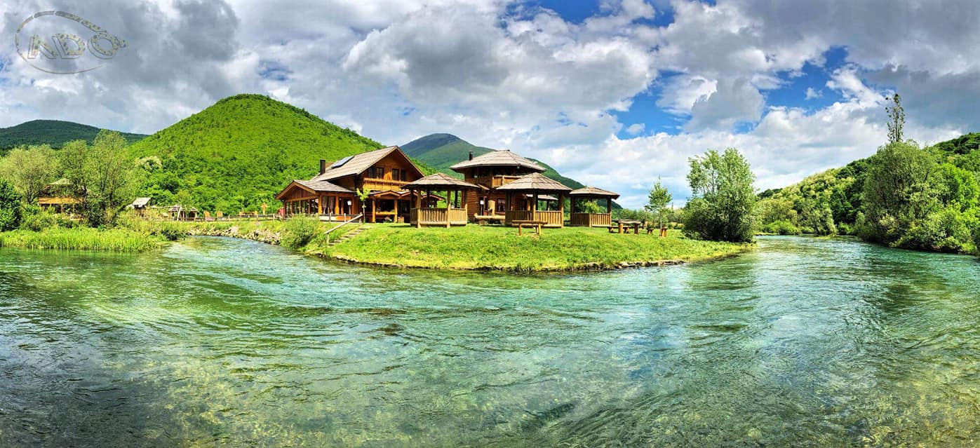
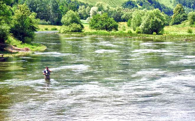
The local community of Ribnik is located in the valleys of the rivers Sana and Ribnik, below the slopes of the mountains Šiša and Dimitor, on an area of 146 km² and an average altitude of 600 m.
The following settlements belong to the local community of Ribnik: Gornji Ribnik, Donja Slatina, Gornja Slatina, Velije, Velijašnica, Sredice, Busije; Macanovići and Crkveno.
The population in the area of this local community is engaged in agriculture, forestry, and in recent times, tourist activities are developing.
The road Baba Ruža - Ribnik and a number of local roads pass through the territory of this local community.

Local community of Previja
Registrar: Milica Stojakovic
LC Council: Bogdan Stupar
Address: Previja bb
Phone: 050 / 461-265
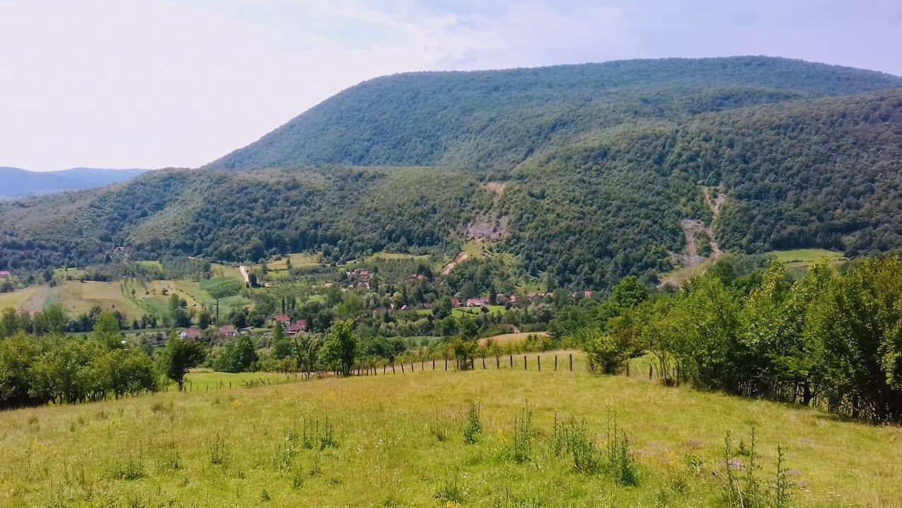
The local community of Previja is located in the valley of the river Sana below the mountains of Šiša and Dimitor, on an area of 76 km² and an average altitude of 400 m.
The following settlements belong to the local community of Previja: Donja Previja, Gornja Previja, Donji Ribnik, Treskavac, Rastoka, Dragoraj and Zableće.
The population in the area of the local community of Previja is engaged in agriculture, as well as wood processing.
The main road Jajce Bihać, the road Baba Ruža - Ribnik, as well as a number of local roads pass through the territory of this local community.

Local community of Vrbljani
President of the LC Council: Marko Babić
Address: Donji Vrbljani bb
Phone: 050 / 480-300, fax: 050 / 489-109
The local community of Vrbljani stretches below the mountains of Ovčara and Dimitor, on the left bank of the river Sana, on an area of 126 km² and an average altitude of 800 m.
The following settlements belong to the local community of Vrbljani: Donji Vrbljani and Gornji Vrbljani.
The population in the area of this local community is mainly engaged in agriculture and wood processing.
A local road that connects with the village of Medna in the municipality of Mrkonjić Grad passes through the territory of this local community.

Local community of Sitnica
Expert associate for LC affairs: Vladimir Mackic
Registrar: Novak Stojic
President of the LC Council: Slavko Pejić
Address: Sitnica bb
Phone: 050 / 421-049
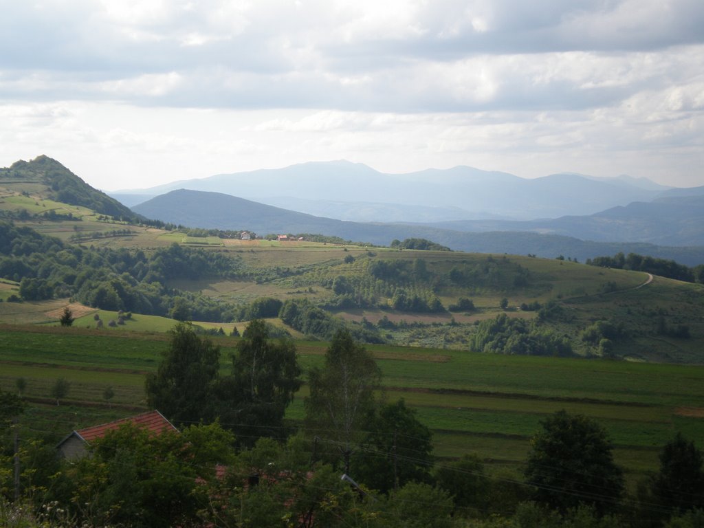
The local community of Sitnica is spread mostly on the plateau of Manjača, on an area of 126 km² and an average altitude of 800 m. The following settlements belong to the local community of Sitnica: Čađavica, Sitnica, Stražice; Gornje Ratkovo, Donje Sokolovo and Gornje Sokolovo.
The population in the area of this local community is mainly engaged in agriculture, mainly livestock (sheep and cattle). Landscapes on the Manjac plateau are conducive to these activities because most of the area is under pastures.
The Banja Luka - Ribnik road, the Jajce - Bihać highway, as well as a number of local roads pass through the territory of this local community.

Local community of Crkvina
President of the LC Council: Goran Đukić
The local community of Crkvina is located on the slopes of Manjača and Ljubinska planina, on an area of 38km² and an average altitude of 650m.
The following settlements belong to the local community of Crkvina: Gornje Zableće and Donje Ratkovo.
The population in the area of this local community is mainly engaged in agriculture.
Only local roads pass through the territory of this local community.

